The National Weather Service issued a tornado watch for Madison County, Illinois, until midnight today. The first tornado watch was issued at 4:50 p.m. CT on Monday, April 1.
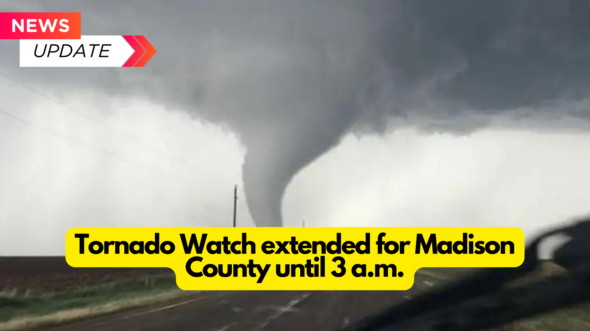
The National Weather Service extended Madison County and many other counties’ tornado watch until 3 a.m. on Tuesday, April 2.
The tornado watch was updated at 10:30 p.m. Tornadoes are probable, as are 2-inch hail and wind gusts of up to 75 mph.
Madison County, Bond County, Clinton County, Fayette County, Jersey County, Macoupin County, Marion County, Monroe County, Montgomery County, Randolph County, St. Clair County, and Washington County are the Illinois counties under an extended tornado watch until 3 a.m. on Tuesday.
The National Weather Service issued a tornado watch at 4:50 p.m. on Monday, warning of the possibility of tornadoes, scattered hail up to tennis ball size, and wind gusts up to 70 mph.
The initial tornado watch ended at midnight for Bond County, Calhoun County, Christian County, Clark County, Clay County, Clinton County, Coles County, Crawford County, Cumberland County, Douglas County, Edgar County, Effingham County, Fayette County, Greene County, Jasper County, Jersey County, Lawrence County, Macon County, Macoupin County, Madison County, Marion County, Monroe County, Montgomery County, Morgan County, Moultrie County, Pike County, and Richland County.
Severe thunderstorm warning for Madison County
A severe thunderstorm warning was issued for Madison County until 8 p.m. The National Weather Service issued this at 7:13 p.m.
The severe thunderstorm warning statement stated, “A severe thunderstorm was centered above Hartford and traveling east at 35 mph. Hazardous conditions include ping-pong ball-sized hail and wind gusts of 60 mph. “Source, radar indicated.”
The strong thunderstorm warning claimed that the impact would “injure people and animals outdoors.” Expect hail damage to roofs, siding, windows, and cars. Expect wind damage to roofs, siding, and trees.
Granite City, Edwardsville, Glen Carbon, Wood River, Highland, Bethalto, Pontoon Beach, Madison, East Alton, South Roxana, Roxana, Hartford, Worden, Marine, Livingston, Alhambra, Rosewood Heights, Carpenter, Hamel, and Grantfork are among the areas affected by the severe thunderstorm warning. This encompasses Illinois’ Interstate 55 between Exits 23 and 33.
The tornado watch and severe thunderstorm warning followed a hazardous weather outlook issued by the National Weather Service at 2:51 p.m. CT on Monday.
What is a tornado watch?
According to the National Weather Service, a tornado watch indicates that “tornadoes are possible in and near the watch area.“
During a tornado watch, the National Weather Service recommends that you “review and discuss your emergency plans, as well as check your supplies and safe room.” Prepare to respond immediately if a warning is issued or you fear a tornado is approaching.”
What is a tornado warning?
According to the National Weather Service, a tornado warning indicates the need to take action.
If a tornado warning is issued, the National Weather Service states that “a tornado has been sighted or indicated by weather radar.” There is an impending threat to life and property. Move into an inside room on the ground level of a strong structure. Avoid windows. If you’re in a mobile home, a car, or outside, go to the nearest solid shelter and protect yourself from flying debris.”